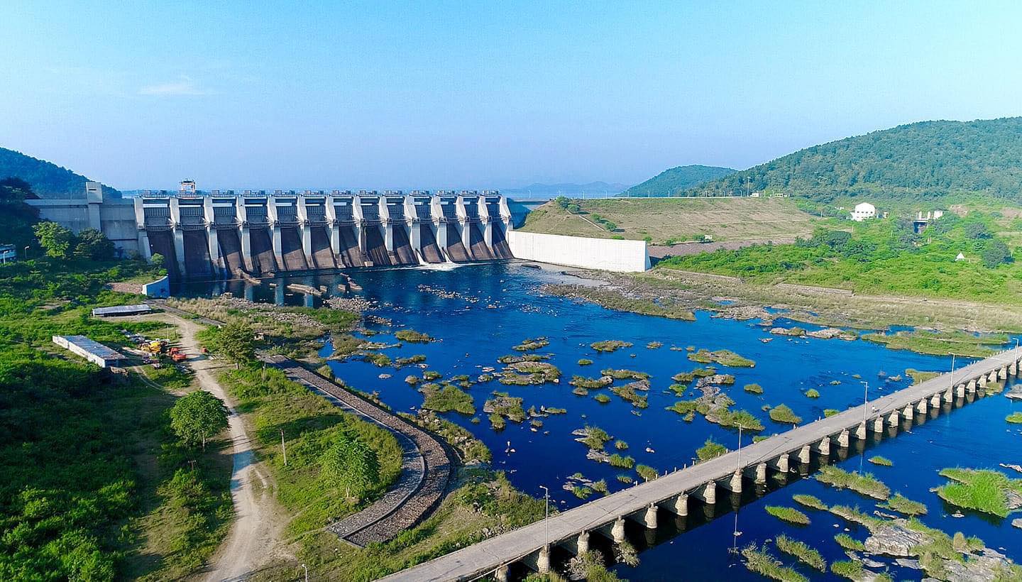
Chandil Dam is located in Chandil, a subdivision of the Saraikela-Kharswan district in Jharkhand. The natural scenery in and around Chandil is both unique and enchanting. Surrounded by green mountains, hills, streams, and rivers, it offers a serene and peaceful environment, embodying the beauty and blessings of nature.
Salient Features of Chandil Dam
Chandil Dam is a major component of the Subernarekha Multipurpose Project, constructed across the Subernarekha River. According to tradition, gold was once mined near the river’s origin at a village called Piska, near Ranchi. This is why the river is named Subarnarekha, meaning “streak of gold.” Even today, traces of gold particles can be found in its sandy beds. Below are some key facts and features of Chandil Dam:
Salient Features of Chandil Dam
- Name: Chandil Dam
- River: Subarnarekha
- Location: Chandil
- District: Saraikela-Kharswan
- State: Jharkhand
- Country: India
- Coordinates: 22.974820°N, 86.020803°E
- Seismic Zone: Seismic Zone-II
- Project: Subernarekha Multipurpose Project
- Benefited States: Jharkhand, West Bengal, Odisha
- Purpose: Hydroelectric, Irrigation, Drinking Water Supply
- Type of Dam: Earthen/Gravity & Masonry
- Total Length of Chandil Dam: 720.10 m (384 m Concrete + 336.1 m Earthen)
- Width of Dam: 8.75 m
- Width of Pier: 4 m
Height of Dam
- Above deepest foundation level: 56.5 m
- Above lowest riverbed level: 44 m
Catchment Area of Reservoir: 5,646 sq. km
Storage Capacity:
- At Full Reservoir Level: 1,500 Mm³
- Maximum Water Level: 1,963 Mm³
- Dead Storage Capacity: 63 Mm³
- Live Storage Capacity: 1,900 Mm³
Design Flood Adopted (PMF/SPF and Other): 32,340 Cumecs
Spillway Type: Ogee, Clear Overflow
- Discharge Capacity: 24,700 Cumecs
Spillway Gates:
- Number: 13
- Type: Radial
- Size: 15 m x 16 m
Left Canal Outlet:
- Type: Conduit
- Sill Level: 171.96 m
- Discharge: 84.10 Cumecs
Penstock Row:
- Number: 2
- Diameter: 3.4 m
- Length: 235 m
Power Generation Capacity: 2 x 4 MW Hydel Power
Precipitation:
- Maximum: 1,756 mm (1941)
- Minimum: 870 mm (1954)
- Average: 1,192 mm
River Sluice:
- Number and Types: 2 Nos. (2 m x 3 m) Overflow
- Capacity: 45 Cumecs each
- Crest Level: 152 m
Emergency Sluice:
- Number and Types: 2 Nos. (2 m x 3 m) Overflow
- Capacity: 30 Cumecs each
- Crest Level: 152 m
Irrigation from Reservoir:
- Gross Command Area (GCA): 1,15,261 Ha
- Cultivable Command Area (CCA): 63,300 Ha
Important Controlling Levels:
- Deepest Foundation Level: RL 139.50 m
- Lowest River Bed Level: RL 152 m
- Left Outlet Crest Level: RL 171.96 m
- Left Canal Bed Level of Irrigation Bypass Channel: RL 170.80 m
- Minimum Drawdown Level: RL 169.10 m
- Crest Level of Spillway: 177 m
- Full Reservoir Level: 189 m
- Maximum Water Level: 192.0 m
- Dam Top Level: 196.0 m
- Freeboard: 4 m
These are the key facts and salient features of Chandil Dam. We hope you found this information useful. Have a pleasant visit!


